The Role of Remote Sensing in Oil and Gas Pipeline Monitoring
Everyone is familiar with the location of their local gas station. It is also most likely your home is being warmed by heating oil or natural gas. But did you know that these products travel extremely long distances from refineries and natural gas plants to reach you? How do they do it? Yes, you guessed it right – pipelines. This system of pipelines serves as a national network to move the resources we need from production ports to consumers as efficiently as possible.
“The rise in global oil production, led by the United States, is likely to outpace the growth in demand this year,” said the Paris-based International Energy Agency. After the International Monetary Fund increased its estimate of global economic growth for this year, they raised their forecast for oil demand growth in 2018 to 1.4 million barrels per day, from the previous 1.3 million barrels per day. Let’s do the math… That is an additional 100,000 barrels PER DAY. Now, more than ever, these pipeline companies need the help of GIS analytics to ensure optimal functionality in their companies.
How do Pipelines work?
There are two general types of energy pipelines – natural gas pipelines and liquid petroleum pipelines. But regardless of what the pipelines are transporting, the process is similar.
- The product is collected from wells in the ground and sent through gathering pipelines to a secured facility where is it refined or processed. The pumps in the system ensure the product is being transported at a safe pace.
- Once the gas is processed or the oil is refined, it is moved through feeder pipelines to be distributed to large transmission pipelines.
- These transmission pipelines deliver the product across the country where the people/consumers need it.
Oil pipelines are usually made from steel or plastic tubes which are usually buried. As the product begins its travel with major force, the product loses its momentum over distance. To facilitate fast (and obviously still safe) movement of the product, there are many pump stations along the pipelines.
Special coatings are also applied to the outside of pipelines in order to protect them from corrosion and abrasion. This could be caused by the various materials present in the soil (such as gems and rocks). Every surface coated is inspected multiple times before being buried. Even after burial, there will be an inspection of these coatings through the multitude of techniques.
Are Pipelines Safe?
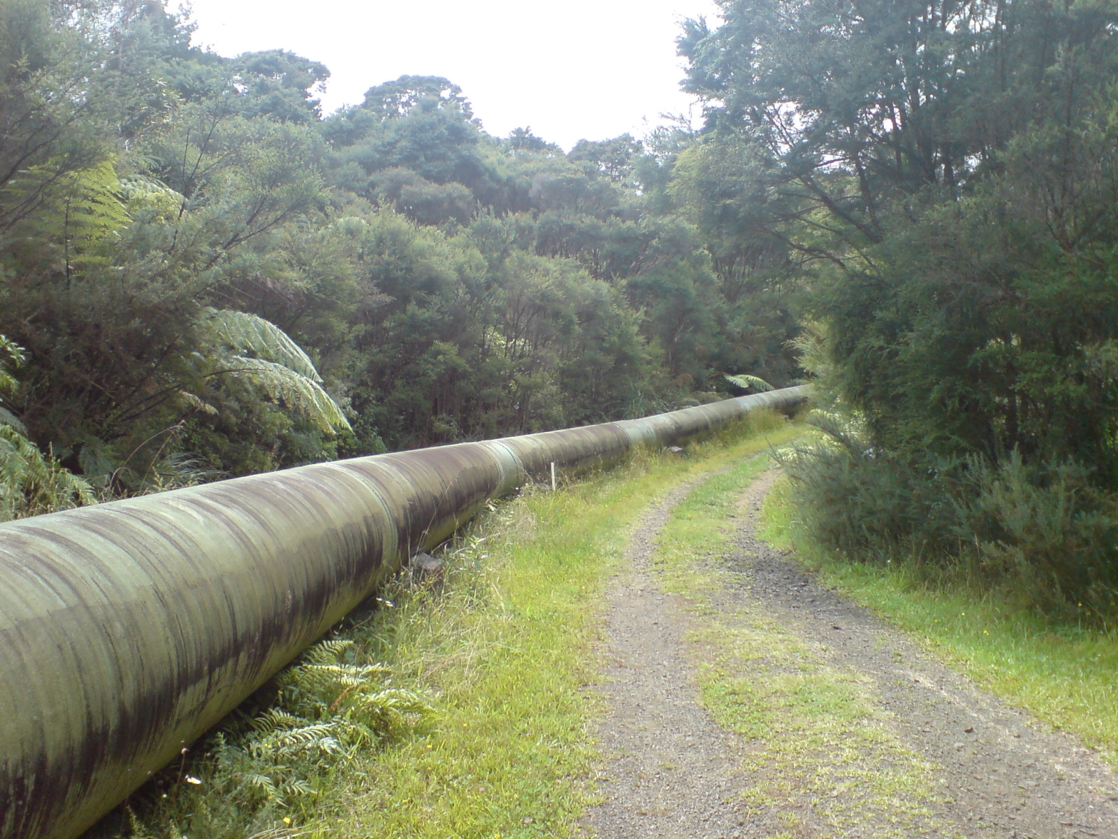
Some of you may start wondering…So why not use rails instead of pipelines? Anti-pipeline advocates often point to safety concerns, but according to a Forbes article – since 1996, twice the number of barrels have been spilt transporting oil by tanker trucks compared to pipelines.
All across the media, we are constantly bombarded by news about the various pipeline accidents – “14 killed, 15 injured in gas pipeline blast in Andhra Pradesh”, ”China gas pipeline explodes after a landslide triggered by heavy rain”, “Sunoco pipeline spills gasoline near Pennsylvania river”, etc. Current events and the accidents, however, do not change the fact that pipelines are critical energy infrastructures which enable the transport of crude oil and gas through the distribution network. Till this day, pipelines remain one of the safest, most efficient and economical ways to move these natural resources. Nations would not be able to sustain themselves without the support of these utility companies.
Nonetheless, with the increased oil production across the globe, pipeline leaks have soared too. According to Canada’s statistics compiled by the Transportation Safety Board, serious accidents involving both rail and pipeline transport of dangerous substances, such as crude oil and gas, increased in 2017 over the previous year.
How Satellites Can Help in Pipeline Monitoring
Well, Satellites help to monitor pipelines from space. This timely pipeline monitoring system will detect the leaks and, not to mention, the thieves. Through daily pipeline monitoring, Satellites can help these companies detect any new obstruction on land and even underwater.
Satellite monitoring has two basic functions
- Third party encroachment
- To develop and deliver a reliable and economical means of monitoring pipeline assets using Earth Observation Data.
Just this year, in Singapore, a group of 17 people managed to steal 6,600 tonnes (about the weight of 1300 elephants!!) of oil from Shell, the sixth biggest Oil and Gas Company in the world. Singapore is Southeast Asia’s main refinery hub and the world’s biggest marine refuelling stop.
For pipeline operators, safety is paramount. The accidents tend to be serious enough to endanger many lives, destroy the environment and even cost millions of dollars! Pipelines typically traverse varied environments (usually extend for hundreds of kilometres), most of which are not owned by their operators. In some areas they are isolated with minimal impact on lives while in some areas they cross dense population networks; the higher the potential impact of a disaster, the stricter and more frequent the required monitoring. Most pipeline operators are not equipped to conduct this kind of monitoring independently and need an external remote sensing company to address this need. To learn more about remote sensing please click here. Pipeline operators need more than the regular checks, they need a constant pipeline monitoring system that analyzes the satellite imagery and then alerts them of any unusual activities or changes around their pipes. With GIS enabled services and high-resolution imagery, this is very possible.
Improving efficiency
Increased competition and the rising regulations from the governments have driven many of the technological improvements in the pipeline industry in recent years. Ageing pipeline systems are incurring higher operating costs to meet the rigid safety standards. The public expectations have also been on the rise with the public’s tolerance level dropping for the effects of pipeline construction on the local communities. Recent decades have proven a significant drop in pipeline accidents, such as oil spills or leakages, but is yet to meet the expectations of the public.
Risk management is the best method for the pipeline industry to address public and environmental safety. Greater efficiencies and better cost control is a priority for any pipeline industry company. The present trend in the pipeline industry is to maintain an accurate flow measurement while appropriately streamlining processes for its distribution both internally and externally.
Smart Pigging
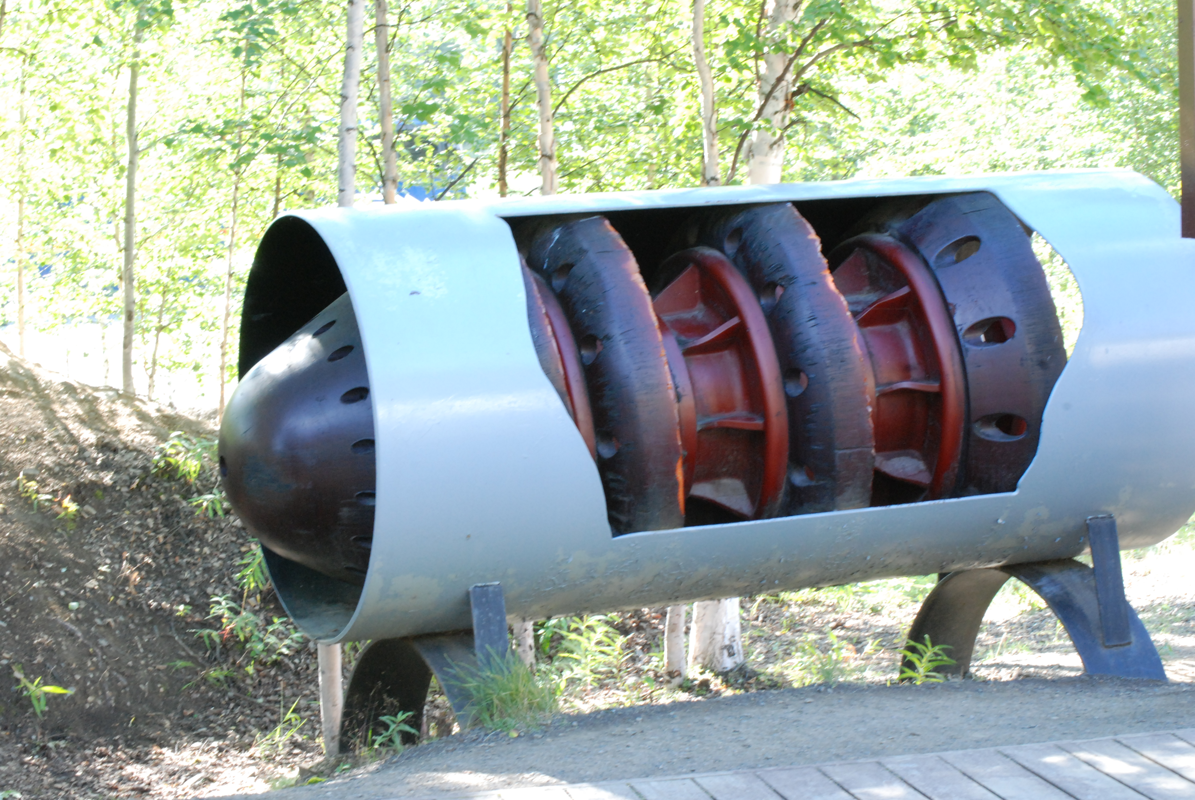
Smart Pigs (Pipeline Inspection Gauges) are large pieces of machinery pulled together with powerful technology that help in the maintenance of transmission pipelines. Traditionally pigging was purely just a method of cleaning pipelines, but today with the usage of smart pigging there have been many improvements in pipeline inspections which have ultimately saved companies both time and money.
Smart pigging conveniently allows pipelines to be cleaned and inspected without having to stop the flow of the product within the pipeline. This has proved to be a huge revenue booster for companies in the industry. Smart pigs use non-destructive techniques such as ultrasound to inspect for metal loss, hydrogen induced cracking and the other many issues pipeline operators face on a daily basis.
Okay, so all this talk about the ‘smart pigging’ but what is it?! Intelligent pigging is an inspection technique where an inspection probe is propelled through a pipeline while gathering all the necessary data. To learn more about Smart Pigging please click here.
Drones
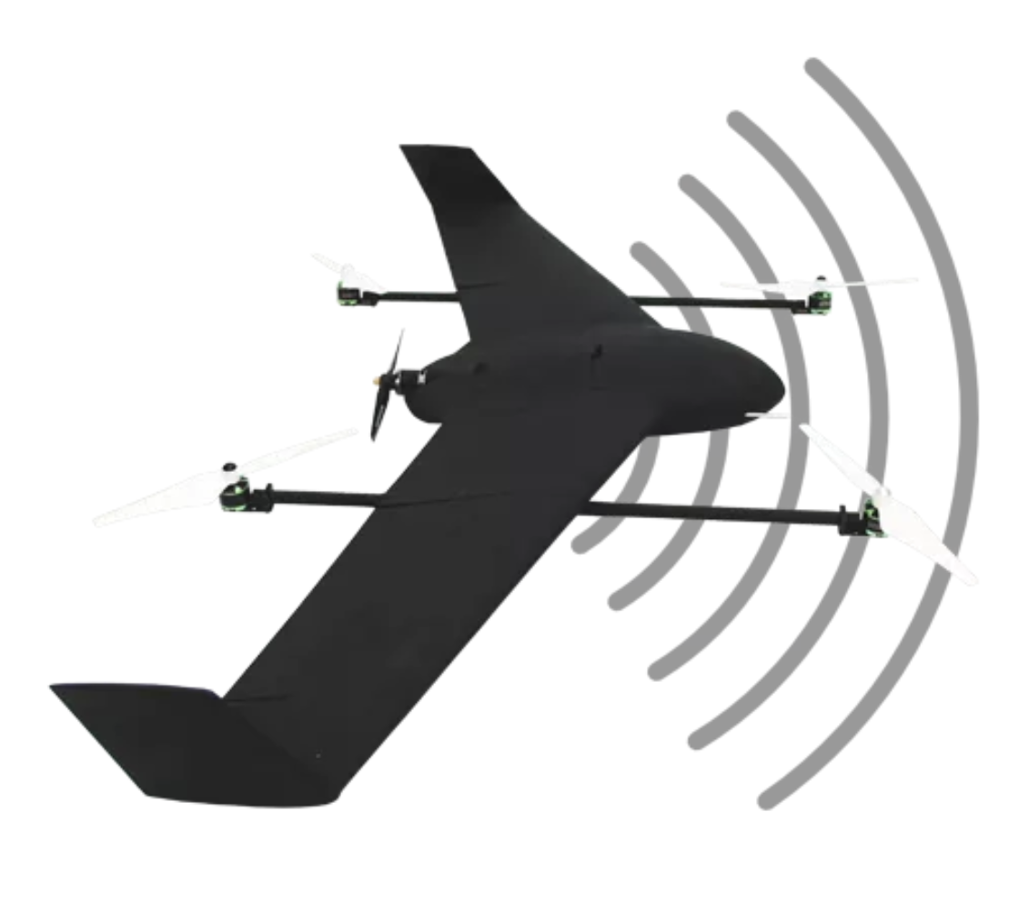
Tagged along with the satellite-based solution, drones are also pretty useful devices when it comes to pipeline monitoring. In order to automate the entire process – after the identification of specific areas of interest worth investigating, drones can be sent to collect this data. Through the process of true automation, drones can replace field operatives in the process of validifying. This is especially useful in improving the cost-efficiency and speed of the entire process. Drones provide very high-resolution data and can detect extremely small defects in specified infrastructure and areas.
The drones can be remotely operated and controlled from something as simple as a laptop or tabloid device. These drones can travel as far as 60km in distance to travel and collect your data. If you’re interested in understanding more about drones or want to learn how you could harness the capabilities of the drones for your industry, please contact us here.
What is the ROW?
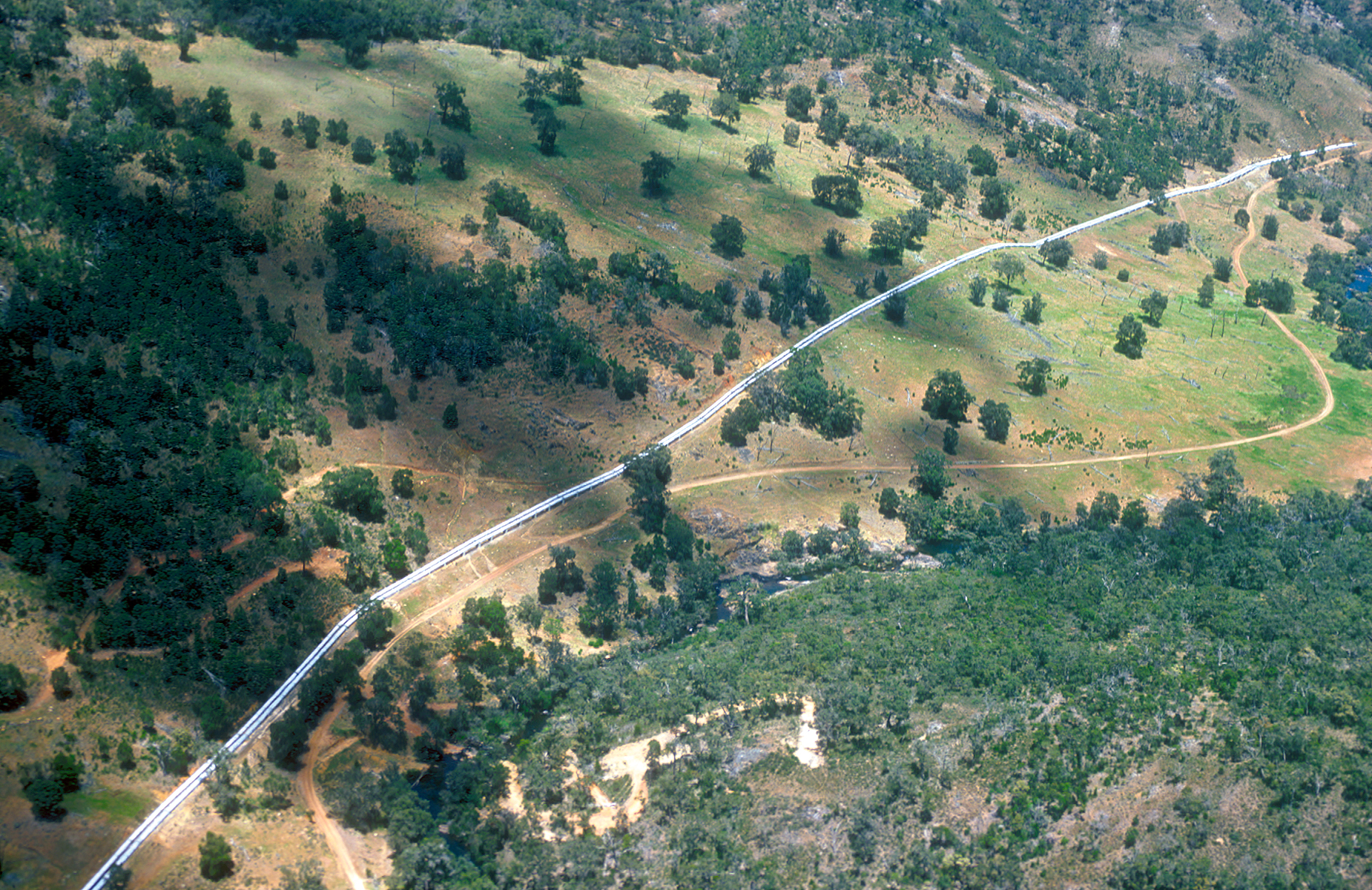
Buffer spaces usually referred to as the Right Of Way (ROW), is a strip of land over and around the pipeline where some of the property owner’s rights have been granted to a utility company. These buffers will happen on both sides of the pipeline to prevent any damage to the pipelines.
The Right Of Way agreement between a company and a property owner is called an easement agreement. These easement agreements are filed in public records with property deeds.
These ROWs are usually kept clean and regularly maintained to allow the pipelines to be efficiently protected and aerially surveyed.
Right Of Way clearing generally refers to the removal of trees, vegetation, structures and other encroachments within the Right-Of-Way. If landowners are concerned that vegetation may be threatened, they may move their vegetation to another part of their property.
How do we tackle encroachment?
Through Pipeline Monitoring and high-resolution images, the management will then easily be able to detect changes in these buffered areas immediately. Unauthorized building or planting in the pipeline’s ROW is known as encroachment. Pipeline companies have the legal right to protect its pipelines, which includes the right to prevent Right Of Way encroachment and to remove any obstruction – vegetation, trees or any other structures – that impair the contractor’s ability to effectively maintain and repair pipelines in a safe operating environment.
Can I Help With Safety?
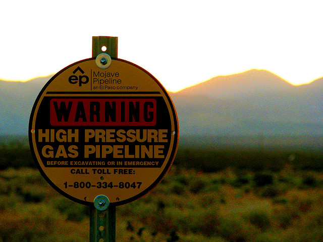
Awareness is the key to preventing pipeline accidents. Even with super advanced remote sensing capabilities, there are always chances of an accident. Eyes and ears along pipelines can be a great assist in identifying potential hazards (a common problem is an unauthorized excavation in the Right-Of-Way). You can contribute to your local community’s safety and security by – knowing where pipelines are in your community, recognizing unauthorized activity, recognizing any leaks or signs of leakages and most importantly learning how to respond in the case of a pipeline accident. For residents of the US, the National Pipeline Mapping System shows pipelines at the county by county scale. This is one of the most useful pipeline location information systems.
If you are interested in pipeline technologies please click here. Without the pipeline monitoring system today’s pipeline industry, it would crumble. This will give you more insight into the new technological advancements in the pipeline industry. To really get a clearer understanding, the US EPA Archive Document is an excellent source of information.

