Asia's leading satellite imagery and GIS services provider
We pride ourselves on being one of the fastest growing companies in the South Asian Region. Having started in 2013 with only 2 employees in Singapore, we are now spread across South East Asia and the USA.
Our story
We took our first steps in January 2013 and after 6 gruelling months, we received our first Purchase Order worth $ 1,000. From here, we never looked back.
By the end of 2013, we signed our first agreement with a Korean company, Satrec Initiative, to be our Satellite Imagery Provider. It was a major breakthrough in our company's journey. We continued striving hard and ultimately signed a strategic Google partnership along with some others over the year.
Today, we are spread across South East Asia with regional offices in India, Malaysia, Vietnam, Indonesia, Philippines and the USA.
What we do
We help you with the insights you need to innovate and succeed by combining imagery from various sources and data.
We build operational technology solutions and provide value-added services in partnership with global technology companies such as Google, ESRI, NTT Data, Planet Labs and many others.
Our applications include many use cases in a diverse range of industries including Infrastructure, Forestry, Agriculture, Insurance, Water Resources, Environment, Healthcare, FMCG, and Telecom.
As a company focused on using technology to solve business and government problems, we have continued to invest in building our capabilities.
OUR VISION

To bring satellite imagery to the doorstep every user empowering them with a better decision making to help sustainability of our resources

To create an ecosystem of consultants & local partners enabling them with right set of technology and Go-to-Market strategy

To provide next generation of data products and services for our customers by co-creating solutions with our global technology partners
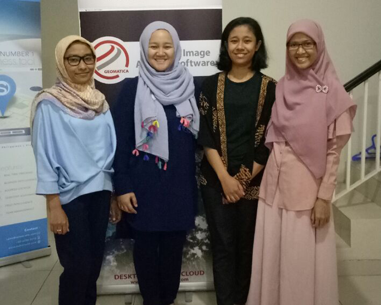
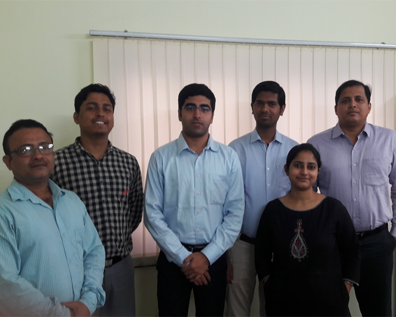
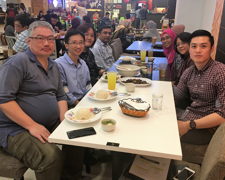
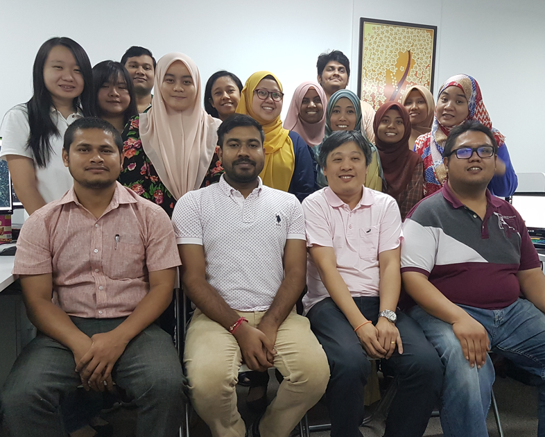
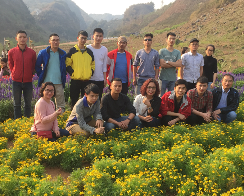
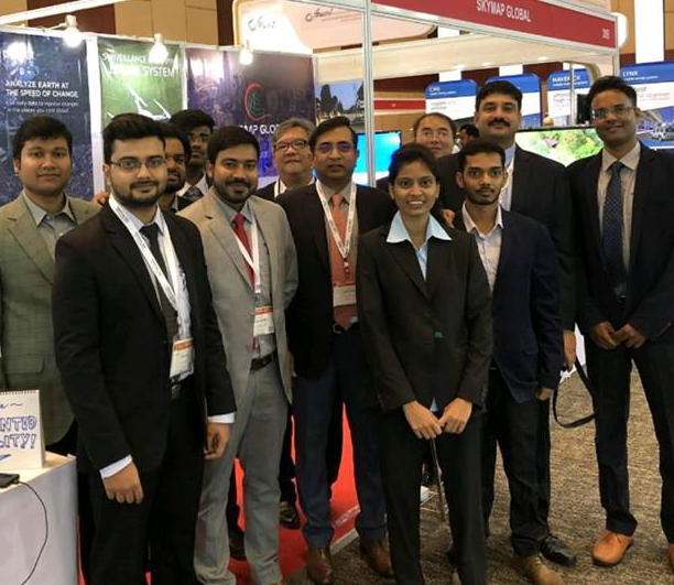
Meet the team


Continuing advancement and growth
The SkyMap High Computing Power Production Center helps us process extremely large size satellite images to be used in applications across various verticals.
Some of our recent innovations also include the automatic extraction of building footprint from satellite imagery. We plan to make this technology available for businesses and government agencies in the first quarter of 2018.
At SkyMap Global, we utilize the power of data and visualization to create useful software solutions. Some of these solutions are ImageTrekk – a platform to visualize basemaps and AgriTrekk – To analyze and monitor the entire agricultural lifecycle.
We continue to invest heavily in building capabilities and solutions that can help the business community and government agencies harness location intelligence.