Through remote sensing there is now prominent potential towards accurate estimation of surface soil moisture. There are conventional methods of measuring soil moisture directly at selected locations but may not be applicable where estimations are required at a global scale.
Studies conducted utilized ERS-2 SAR images for estimating soil mixture by meticulously incorporating the effect of topography vegetation and surface roughness. These were taken over 3 land cover types – wheat, sugarcane and barren land – through the Multiple Linear Regression (MLR) approach. There were 5 independent variables considered for the MLR analysis – backscatter coefficient, local incidence angle, surface roughness height, plant water content and the leaf area index. The highest accuracy was retrieved in the following manner – Barren Land, Sugarcane and then Wheat.
Click here for more information on this study.
The regression equations which have been developed in this study can be further utilized to generate soil moisture maps which can prove very useful for other hydrology studies as well.
With the increased likelihood of greater variations in climate in the future years, the implications for forest management are also of some concern and the appropriate resource assessments, which can be done accurately with soil moisture readings, are seen as a key component of a stable forest management system for the future.
Soil is assumed as an inexhaustible resource that is used continually for increasing agricultural production. However, the truth is – that soil has turned lifeless in places with increasing development and industrialization. Soil has the potential to drastically impact a country’s economy and environment. Therefore, soil moisture measurement is very important.
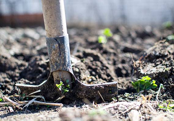
Soil Moisture
In its essence, soil moisture is the amount of water held in soil pores within the top layer (5-10cm) from the Earth’s surface.
Despite its small amount, the soil moisture plays a very important role in controlling and regulating the interaction between the land surface and atmosphere. The quantification of soil moisture can open a whole new spectrum of interpretation and analysis of data which will, in turn, lead to greater efficiency and deeper insights. Soil moisture measurement is indeed, very important for the well-being of any ecosystem.
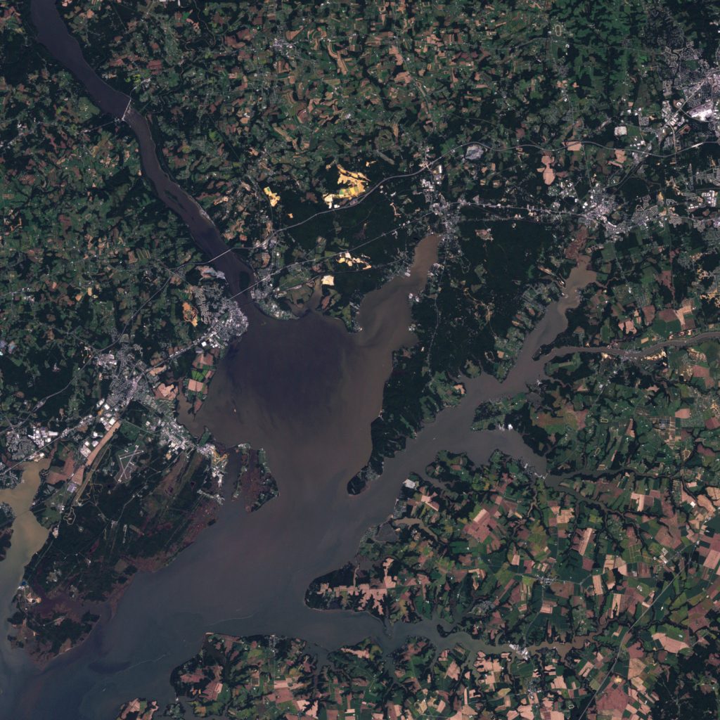
The knowledge of the spatial distribution of soil moisture in a river attachment is quite an important prerequisite for the modelling of many hydrological processes such as infiltration, soil erosion and runoff.
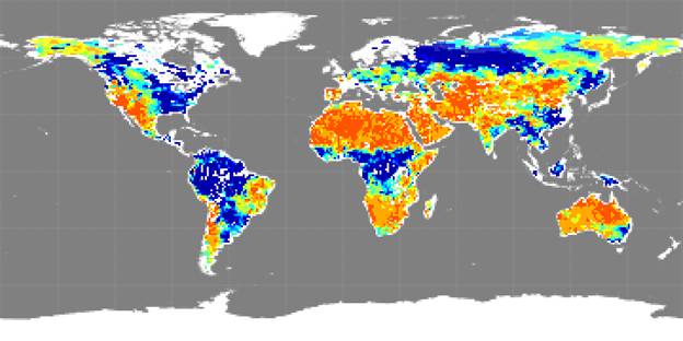
Some people might not consider soil moisture to be a critical factor to the current health of our planet but recently a series of satellite missions are proving it otherwise.
Scientists have recently created maps from NASA’s Aquarius (Aquarius is an international effort, by NASA, to measure sea surface salinity to predict future climatic conditions) satellite of soil moisture and have found its positive impact on understanding the climate, predicting the weather, forecasting floods, predicting agricultural productivity, etc. According to NASA, floods account for 40% of all natural disasters worldwide.
With new insight and a whole new area of understanding – farming, along with many other activities, can improve. With this information and analysis, there can be a huge positive impact on the economies of many countries (especially the developing/undeveloped countries.)
Soil Mapping and Monitoring
The advancements in spatio-temporal technology has opened a wide array of application possibilities of remote sensing in soil mapping. Soils can be mapped at a very detailed level where the pattern of soils in individual fields can be identified and critically analyzed.
Adequate soil information is necessary for policy making – particularly in this age with the increased social and economic integration taking place.
With the identification of the various properties of soil, implementation of soil management techniques can be effectively and efficiently implemented. With remote sensing, there is no need of guessing anymore. We can know.
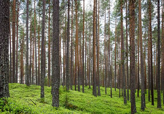
Soil Mapping and Its Role in the Sustainable Management of Forests
Site-specific information of soil resources is essential to understanding their potential contribution to the management of any nation’s forest.
This is particularly important in India where over the last 30 years, forests nearly 2/3 the size of Haryana (15,000sq km) have been lost to encroachments and over 23,000 industrial projects (14,000sq km).
Over 70 percent of the rural households in India depend on agriculture as their principal means of livelihood. India, along with many other countries, has a great diversity of climate, landscape, agriculture and deforestation.
An important prerequisite in re-establishing forest cover is carrying out pre-planting surveys to map the distribution of different soil types and identify site and soil characteristics which are likely to be of significance in the forest management.
With the immense developments in digital technology, geographic information systems and modelling, there is greater awareness by forest managers of the need for detailed soil and site information.
These GIS based management tools are very important for forest management as they incorporate data from many sources ranging from climate, topography and soil types to give you an accurate assessment.
Conclusion
Agricultural bodies and farmers can benefit tremendously from the usage of location data to make timely and informed science-backed decisions.
Improved forecasts could help farmers and markets adjust their prices to match their production and help local relief agencies better respond to food and emergencies.
Rainfall runoff models are fundamental tools for reducing flood hazards. High fidelity soil moisture measurement will improve flood warnings by assessing how wet the soil is before a rainstorm.