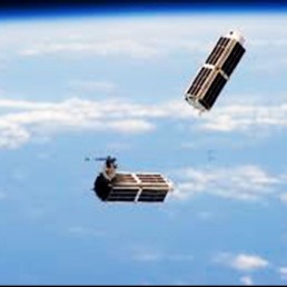
SATELLITE
SkyMap Global has partnered with several world class satellite providers to bring the technology platform for accessibility combined with latest imagery fully processed and ready to use with the applications. Using high Powered GPU systems, data can be processed and delivered within a shortest possible timeframe and combining the power of point tasking in emergency situations, we work closely with the satellite providers to understand the satellite tracks and provide schedule of tasking to suit the project requirements.
SkyMap Global has partnered with several world class satellite providers to bring the technology platform for accessibility combined with latest imagery fully processed and ready to use with the applications. Using high Powered GPU systems, data can be processed and delivered within a shortest possible timeframe and combining the power of point tasking in emergency situations, we work closely with the satellite providers to understand the satellite tracks and provide schedule of tasking to suit the project requirements.
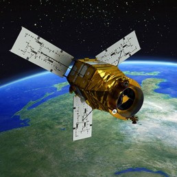
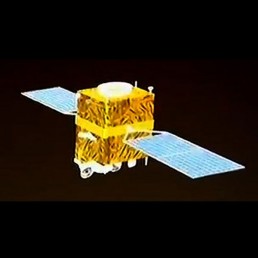
KOMPSAT-2/3 AND 3A
KOMPSAT- 2 / 3 and 3A are optical high-resolution (Sub Meter) Korean observation mission of KARI (Korea Aerospace Research Institute). The project missions are to meet the domestic and international users’ needs for high-resolution optical imagery required for GIS (Geographical Information Systems) and other environmental, agricultural, oceanographic monitoring application, public safety, resource management, environmental monitoring, location-based services, intelligence and disaster monitoring.
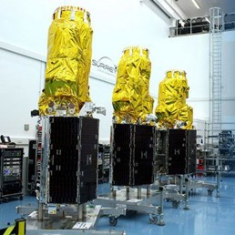
RapidEye
The RapidEye satellite is characterised by its ability to capture wide-area images, undertake high-frequency imaging, as well as ability to acquire high-resolution multispectral images. The constellation of five satellites covers five bands and boasts a resolution of 5m. Its powerful capabilities are fully demonstrated in wide-area, high-frequency imaging.
Thaichote
THAICHOTE is the first operational Earth Observation Satellite of Thailand. To satisfy users in almost all applications, Thaichote is equipped with a 2-meter resolution panchromatic telescope with 22-kilometer swath width and a 15-meter resolution multispectral camera with a 90-kilometer wide viewing.
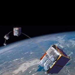
TripleSat
The constellation comprising three identical optical EO satellites, which makes it possible to target anywhere on Earth once per day, is offering <1m high-resolution imagery products with a 23.4km swath. Both space and ground segments have been designed to efficiently deliver guaranteed timely information. The TripleSat Constellation is the enabler for customers’ operational and sustainable applications.
PLANET
The Planet Scope Visual Ortho Tile product is orthorectified and color-corrected (using a color curve). This correction attempts to optimize colors as seen by the human eye providing images as they would look if viewed from the perspective of the satellite. It has been processed to remove distortions caused by terrain and can be used for cartographic mapping and visualization purposes. It eliminates the perspective effect on the ground (not on buildings), restoring the geometry of a vertical shot. Additionally, a correction is made to the sun angle in each image to account for differences in latitude and time of acquisition.
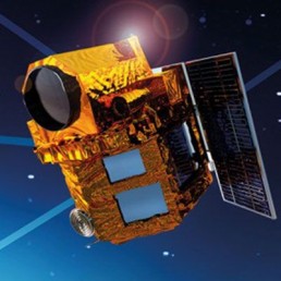
GF 2 (Gaofen-2)
Gaofen-2 (GF2) satellite was designed and developed by CAST (China Academy of Space Technology). GF2 is sensitive enough to see a one-meter-long object from space in full color. Its ground resolution in panchromatic mode is 80 centimeters, and its swath width is 48 kilometers. In multispectral mode its resolution is 3.2 meters. The CZ-4B rocket targeted a Sun-Synchronous orbit of 630 kilometers.
RADARSAT
RADARSAT-2 offers rapid access to all-weather imagery and surveillance information for a wide range of civil, commercial, and defence applications. RADARSAT-2 is the primary source of SAR data for the defence and security, oil and gas, mining, disaster management, natural resources, aviation, and agriculture markets.
KOMPSTAT 5