SkyMap DEM Services
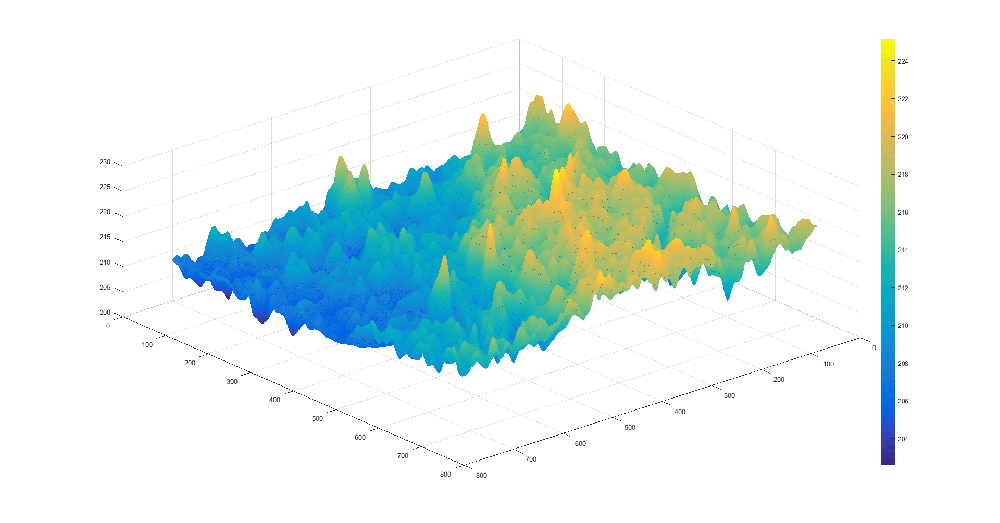
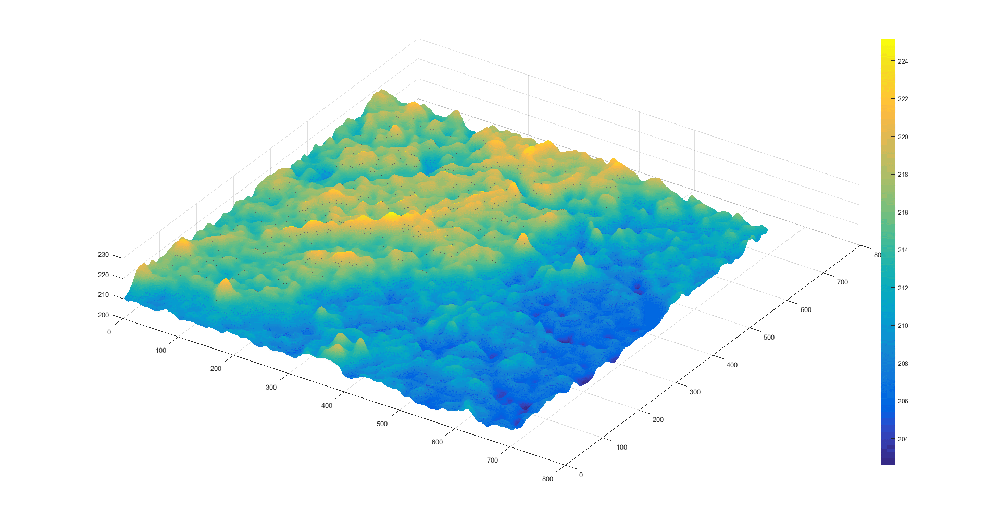
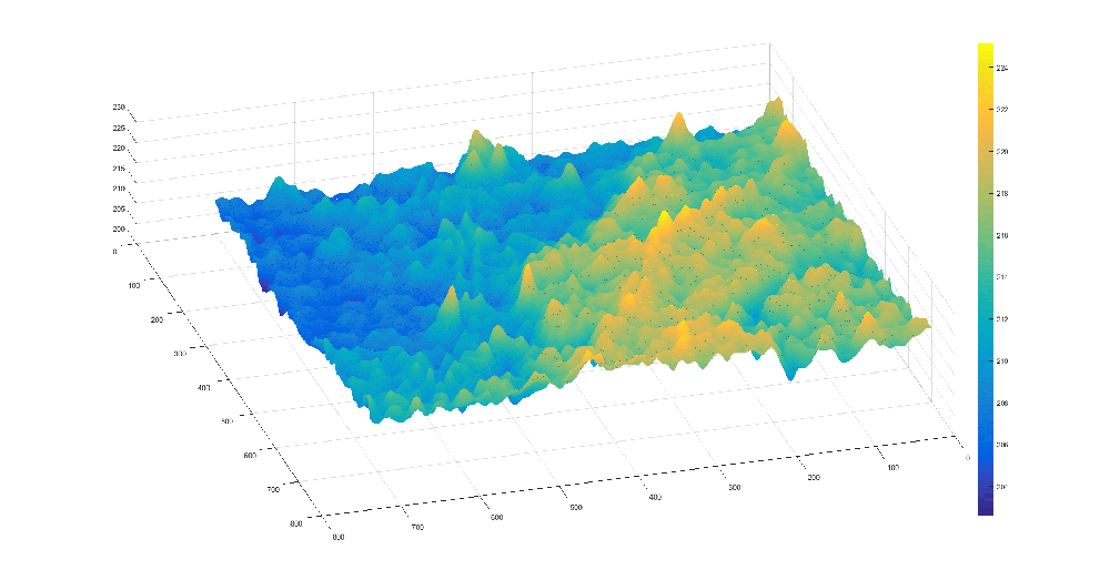
SkyMap Global utilizes stereo satellite imagery to produce the Digital Elevation Model (DEM).
Data can be from various stereo satellite sensors including the Kompsat 3A (0.4m) and many other commercially available data. High-resolution data will be able to support project planners, operation managers, and logistics managers to plan field operations in a computer environment, ensuring that the best terrain conditions and access are provided to achieve project objectives.
GET YOUR FREE IMAGE PREVIEW REPORT
A member of our team will contact you for clarification, following which you will receive your free image preview within 2 working days.
Specifications
| Parameters | KOMPSAT 3 | |
|---|---|---|
Data Input for DEM Generation |
0.7m Pan Stereo |
0.7m Pan Stereo |
Ancillary Data |
SRTM |
SRTM |
GCP and Check Point |
Yes |
No |
Avalibility |
On Request |
On Request |
Post Spacing |
5m |
5m |
Vertical Accuracy (RMSE) |
3m |
8m - 10m |
Horizontal Accuracy (RMSE) |
4m |
15m |
Acquisition year |
New Capture or Base on available Stereo |
New Capture or Base on available Stereo |
Minimum Order |
100 sqkm |
100 sqkm |