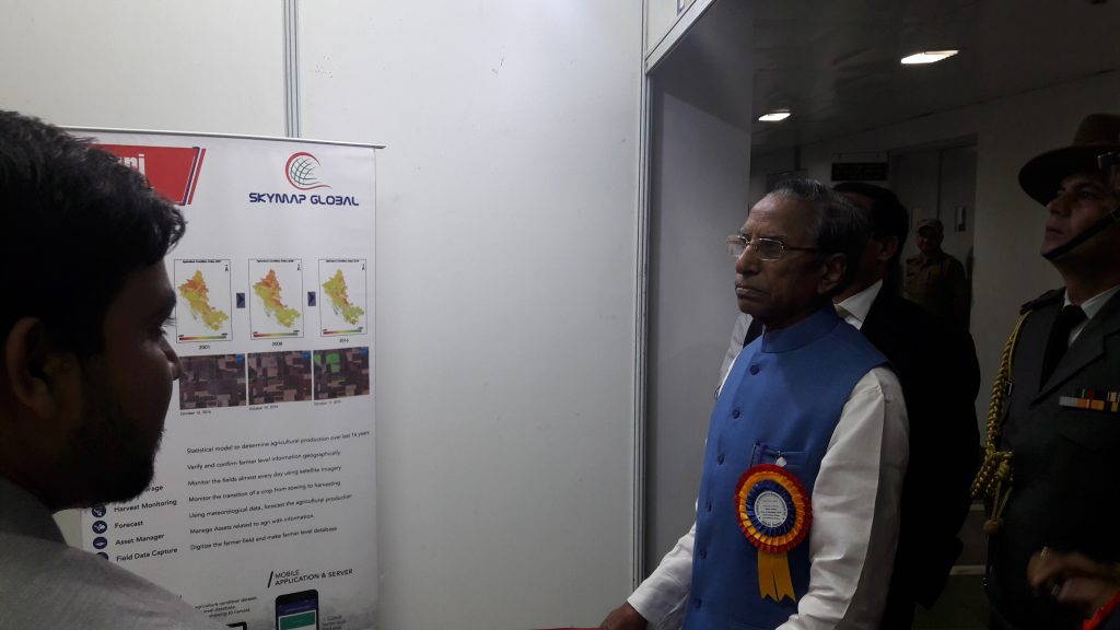
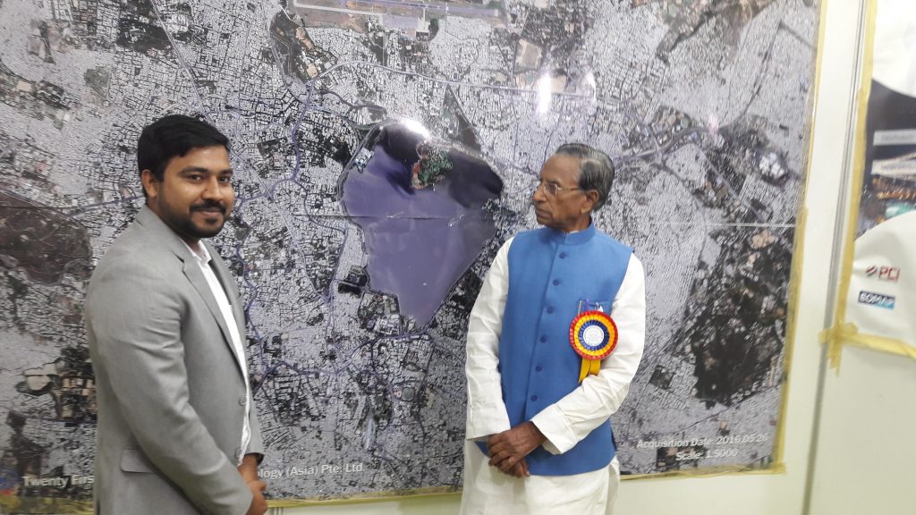
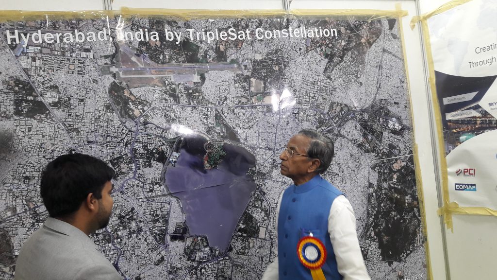
A 2-day seminar on ‘Advances in RS & GIS ‘ organized at NESAC on 10th & 11th May 2018 jointly by ISRS, ISG, NESAC, NEHU. The NESAC conference focused on bringing people from the Remote Sensing and GIS industry to showcase their solutions and capabilities in solving some of the toughest challenges in the North East region of India.
SkyMap Global presented its capabilities and solutions that can help the North-East of the country overcome difficulties in their common activities such as field surveillance, data collection, daily monitoring along with other issues. Sky Map Global’s services would ultimately help save both – cost and time – in performing these necessary tasks.
With advanced computing tools and the best network of partners worldwide, SkyMap Global occupies a unique place in the remote sensing, GIS, and analytics industry with the ability to capture, process and deliver valuable insights for critical applications in the North East.
Here are some moments from the event –
SkyMap Global is one of Asia’s leading geospatial analytics company. With services and analytics ranging from satellite imagery to drones, SkyMap Global strives to deliver value and help you leverage data for everyday use. We utilise proprietary algorithms to help you gather data-driven insights. If you’re keen to understand more about how remote sensing and GIS-based analysis can benefit your field of work, please click here.
