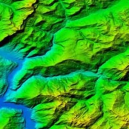
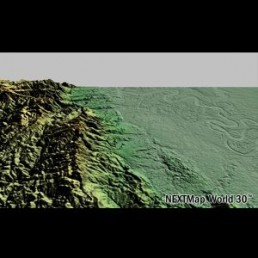
Digital Elevation Model
A DEM is made of discrete elevation points at evenly spaced intervals. As DEMs can be extracted from stereo satellite imagery, it is possible to get models of remote places. DEMs are used in various applications, from land use planning to agricultural zoning.
GET A FREE IMAGE PREVIEW REPORT
GET YOUR FREE IMAGE PREVIEW REPORT
A member of our team will contact you for clarification, following which you will receive your free image preview within 2 working days.