Introduction
In today’s age, remote sensing has become crucial in the interpretation of data from multiple fields. In this blog post, we are primarily going to be addressing one such field – Oceanography. Since the birth of the space age in the 1950s – developments in the satellite remote sensing field, along with the increasing demand for satellite data products, have worked together to support the rapid expansion of the applications of satellite remote sensing. In order to take complete advantage of remote sensing and its capabilities, a multiple-view approach to data collection has to be taken. Data can be taken by multi-spectral (data acquired simultaneously in many spectral bands), multi-temporal (data acquired on a series of occasions in a given time frame), multi-vantage (viewpoint), etc.
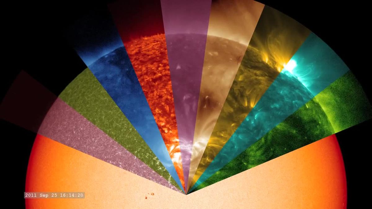 (Image is taken from Wikipedia)
The multi-concept is one of the key concepts in remote sensing. Many remote-sensing investigations and analysis include many of these ‘multi’ capabilities. This is what makes remote sensing so applicable and effective in so many different fields ranging from weather forecasting to soil mapping. The oceans cover over 70% of the Earth’s surface and are its most valuable resource. As oceans are a ‘common property resource’, they have been exploited in many different ways. This has caused the marine environment to deteriorate significantly along with the exhaustion of its resources. Oceanography is the study of the physical and biological aspects of the ocean. The study of oceanography is crucial for a sustainable future.
Remote sensing has a wide array of applications in the field of coastal engineering. These range from the estimation of sea surface temperature to potential fishing zones (PFZ). We’ll get to that in a bit. Reliable satellite remote sensing data can provide real-time data to accurately monitor the coastal resources fully equipping authorities to take necessary science-backed decisions. High-resolution satellite imagery can be used to successfully obtain detailed, and precise, land-use maps at various scales to aid the implementation of coastal regulation measures.
And I suppose it goes without mentioning – satellite remote sensing has demonstrated its usefulness in disaster prevention, disaster preparedness, and aid relief. To read more about the role remote sensing and GIS capabilities have in disaster management, please click here.
Satellite remote sensing plays an important role in coastal zone management. There it allows us to locate and regularly monitor various aspects such as bathymetry (the measurement of the depth of water in water bodies), chlorophyll content, suspended sediment concentration, etc. As compared to conventional methods (with the intrusion), remote sensing can easily and more effectively study the effect of various activities in the coastal region.
An oceanographer is a special kind of scientist who studies the ocean.
There are three major disciplines of oceanography: Geographic Oceanography, Chemical Oceanography, and Physical Oceanography. They all, however, are equally important, in their unique ways, for us to understand the ocean better.
Geographic Oceanography –
As many geological features, there are here on land, there are as many that exist under the ocean. Mountains, Valleys, islands and even volcanoes exist in similar forms under the ocean. Geological oceanographers study the formations, compositions, and history of the seafloor to learn more about historical climate records and animal and plant life (they search for fossils in rock cores and analyze sediment composition using radiocarbon dating along with a variety of other methods).
Chemical Oceanography –
The ocean has been referred to, on more than one occasion, as the ‘chemical soup’. This is because of the various chemical compounds, elements, minerals and other particulate matter that exist under the ocean. Despite the major changes that have occurred on Earth throughout its long history, the basic composition of the ocean has been almost the same throughout the years. Chemical Oceanographers can also be conveniently be called marine chemists or even marine geo-chemists. As humans will discover more ways to use the ocean for their benefit, chemical oceanographers will help us assess the impact activities on the ocean and its ability to sustain these activities.
Physical Oceanography –
Maybe more than any other group of oceanographers, physical oceanographers have benefited most from satellite technology. Physical oceanographers need to understand the movement of oceans and the forces that cause these huge motions. These could be winds, waves, tides, etc. In order to fully understand this movement, they have to look at the ocean from the ‘bigger’ perspective. They study the continuous interaction between the ocean and its boundaries and relationship these water bodies have with the climate and weather. Physical oceanographers work together with other oceanographers to draw a complete picture as the physical properties of the ocean are intricately linked to the chemistry and geographical properties of the ocean, vice-versa.
Some of the applications in Oceanography
Sea Surface Temperature
Satellite Images of sea-surface temperature have provided a reliable and accurate way of viewing ocean features such as currents and fronts. The ocean covers the majority of the Earth’s surface, recording sea-surface temperature helps scientists understand how our water bodies communicate with the Earth’s atmosphere. This has led to the inspiration of oceanographic research. The continuous production of satellite images for a given area results in long-term sequences that can be used to monitor any sea-surface variability. For more information on the study of sea surface temperature and its implications please click here.
Sea Level Monitoring
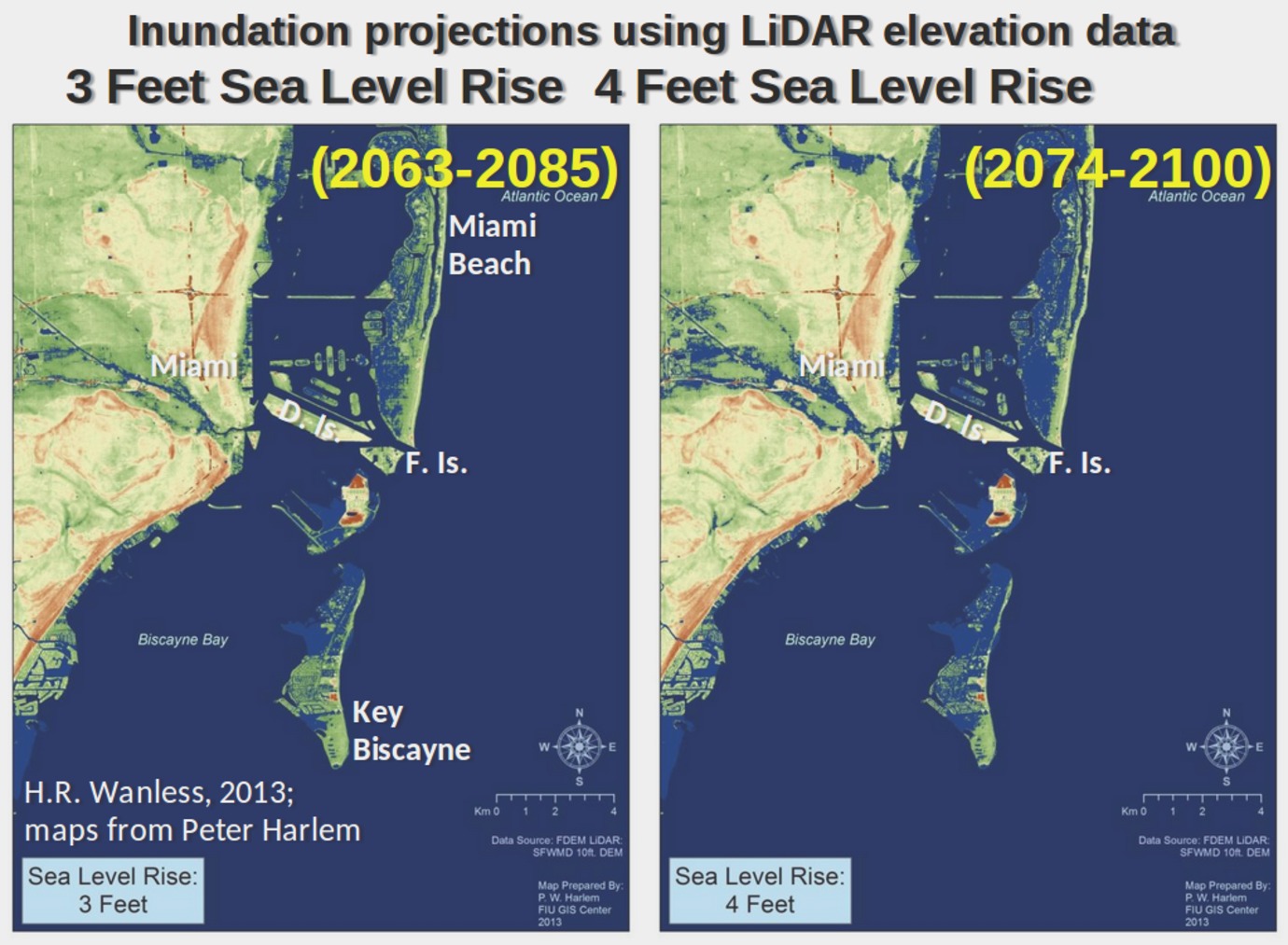
The flooding of Florida will begin in earnest within the next 25 years. Peter Harlem, Florida International University.
Due to global warming, sea level has been constantly rising through the years. Making them prone to flooding, this has raised the alertness level for low lying coastal areas. With high-quality satellite imagery and GIS integration, authorities will be fully equipped to take preventative measures to protect their local coastal communities and minimize damage. Click here if you want to visit the Sea Level Station Monitoring Facility. The facility is a global station monitoring service for real-time sea level measuring.
Potential Fishing Zone (PFZ)
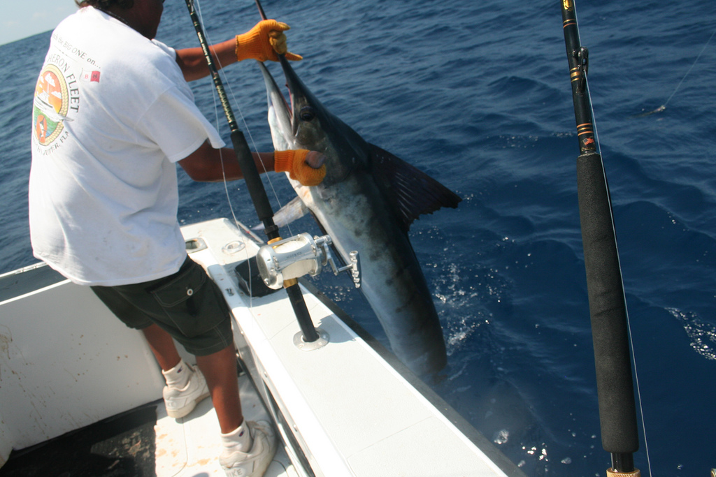
The agricultural population of India grew by a staggering 50% between 1980 and 2011. There are more than 7 million people living along the Indian coastline (which spans over 8100 km) who depend on fishing for their lives. The search for fish is one challenging task and often uses a lot of resources and time. With a very high cost and low profitability, socio-economic status cannot reach its full potential. For an in-depth study on PFZ please click here. This will give you much deeper insight into PFZ implications as well as its complications.
Chlorophyll Content
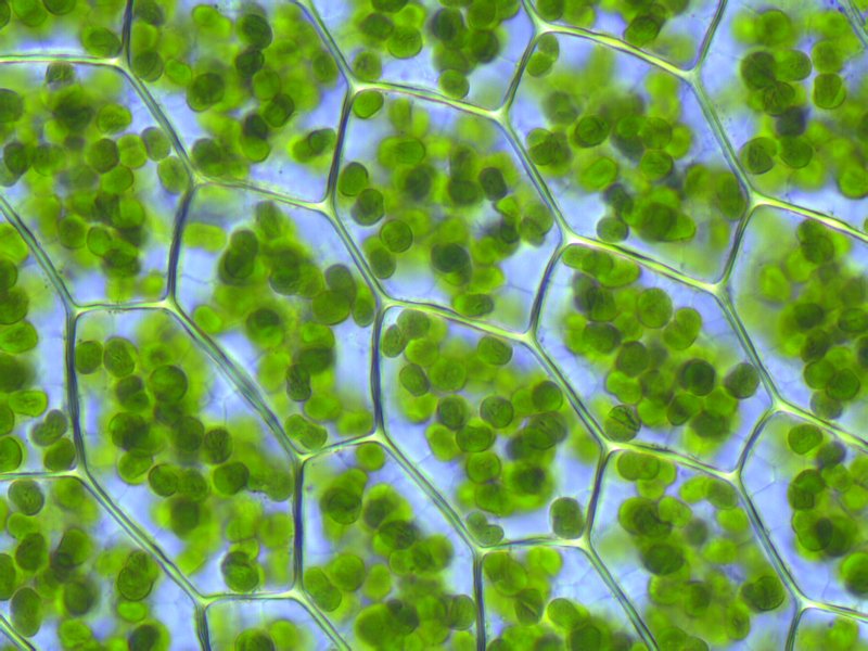
Chlorophyll is a pigment found in all photosynthetic organisms. It can be indirectly measured through remote sensing and is generally calculated using the raw data coming in from satellite sensors. High-grade algorithms are then applied to process that data into meaningful readings. One such method is the use of Normalized Area Vegetation Index (NAVI) to estimate the chlorophyll content from remote sensing data. NAVI allows the estimation of chlorophyll from satellite data with medium spectral resolution. For more information on a study involving the use of Vegetation Index, please click here.
Bathymetry
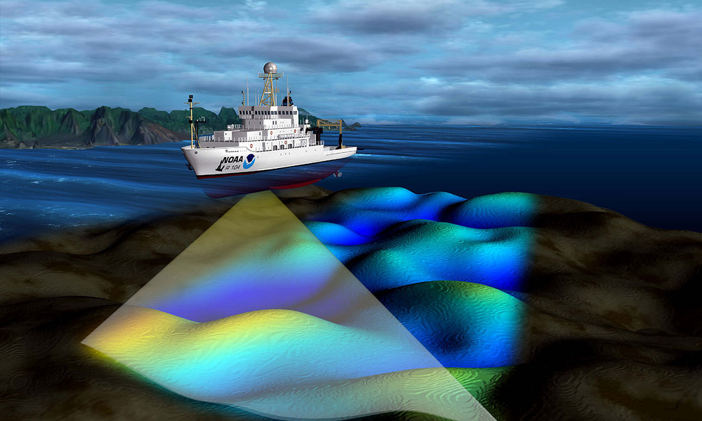
(Original source: National Ocean Service Image Gallery)
Bathymetry is the foundation for much of ocean science and policy. Bathymetry, for many years, has been studied via shipboard echo sounding. This method usually bears a very high operating cost and tends to be inapplicable in shallow waters (depending on the area and depth of the lake the errors could range from 2 meters to 30 meters). Remote sensing, however, offers a more cost-efficient, flexible and efficient means of mapping bathymetry over large areas. With developments over the last 50 years, techniques used in bathymetry have changed to take advantage of newly developing technology and the improved processing rate of information.
Conclusion
This is not to say there aren’t countless more applications of satellite imagery and other remote sensing techniques in oceanography. There are various other applications such as suspended sediment concentration. Satellite remote sensing has become crucial and almost instrumental in environmental monitoring and impact assessment. It has proven itself to be a useful tool in global conservation issues.
With the integration of GIS and GPS into remote sensing, accuracy and precision of readings have drastically improved. Modern-day remote sensing provides many advantages over conventional techniques such as area averaging, repeated observations of a given location from the same angle and even synoptic coverage.
Understanding Remote Sensing
To understand more about what remote sensing is, please click here to visit our page – what is remote sensing. This post will explain the applications of remote sensing in various industries. Please do contact us for any information on any related field.
[…] Modern remote sensing techniques for fisheries control, may not be at the stage to completely replace traditional marine surveillance systems, such as inspections at the shore or onboard vessels, but they can be helpful in drastically reducing the costs for these activities. Thanks to satellites, it is now possible to monitor huge areas and efficiently detect abnormal activities that may require immediate inspection. For those interested in the applications of remote sensing in various other marine-related fields, please click here. […]